
The Colony ZIP Code Limits
The documented primary ZIP code for official The Colony addresses and subdivision-related rows is 75056. It should be treated as a useful primary postal clue, not an exclusive outline of the city. A Collin County mapping context also places 75010 near The Colony, but the research did not confirm 75010 as a general municipal ZIP for The Colony. No exact USPS address result or ZIP+4 response was captured during research, so do not assign a service boundary, post-office assignment, or ZIP+4 value without that result. Keep the street address and unit with every postal check. The tax portal also separates property location from owner mailing address.
| ZIP code | Areas or official clue | Post office or boundary status | Research note |
|---|---|---|---|
| 75056 | Primary ZIP appearing in official The Colony city addresses and local association rows | Exact USPS service and ZIP+4 must be verified by full address | Can appear alongside Denton or Collin County context |
| 75010 | Appears in official Collin County ZIP mapping context near the city | Not confirmed as a general The Colony municipal ZIP | Do not attach it to an address without USPS and parcel evidence |
The table deliberately does not claim a PO-box-only ZIP, a unique ZIP, a carrier route, a neighborhood boundary, or a post-office name for either code. Those details were not documented in the research and can change by address. A complete ZIP code directory should retain that uncertainty until the official postal lookup returns a current result.
The Colony ZIP Code Boundaries
A ZIP code supports mail delivery. It does not decide whether an address is inside the City of The Colony, in Denton or Collin County, within a subdivision, assigned to a school zone, or served by a particular council district. City GIS, DCAD GIS, and county GIS offer different geographic layers for those separate questions. Treat a postal city label as one field in an address record, not as a substitute for a city-limit or parcel map.
Keep five fields apart. Record the USPS postal city and ZIP, municipal city-limit status, county, subdivision or plat, and parcel or tax account. A mismatch among those values is a comparison task, not an error to erase.
This distinction is especially useful near county lines and association records. A result labeled “The Colony” may still require a city and county check before it is used to describe the location of a parcel, an HOA certificate, or a public record. GIS boundaries are informational rather than surveys, so a legal boundary question belongs with the appropriate city or county office.
Verify The Colony ZIP Code
USPS Address and ZIP Code Lookup is the proper verification route for postal city, deliverability, and ZIP+4. Enter the complete address as currently used, including an apartment or unit where applicable, and retain the result exactly as returned. A bare city name or a ZIP alone cannot settle a street-level delivery question. The research captured a USPS tools landing view, not a live The Colony address result, so an exact result must be checked when the address is known.
The manifest’s USPS tools landing view is the source shown below; it is not an address-specific service result.
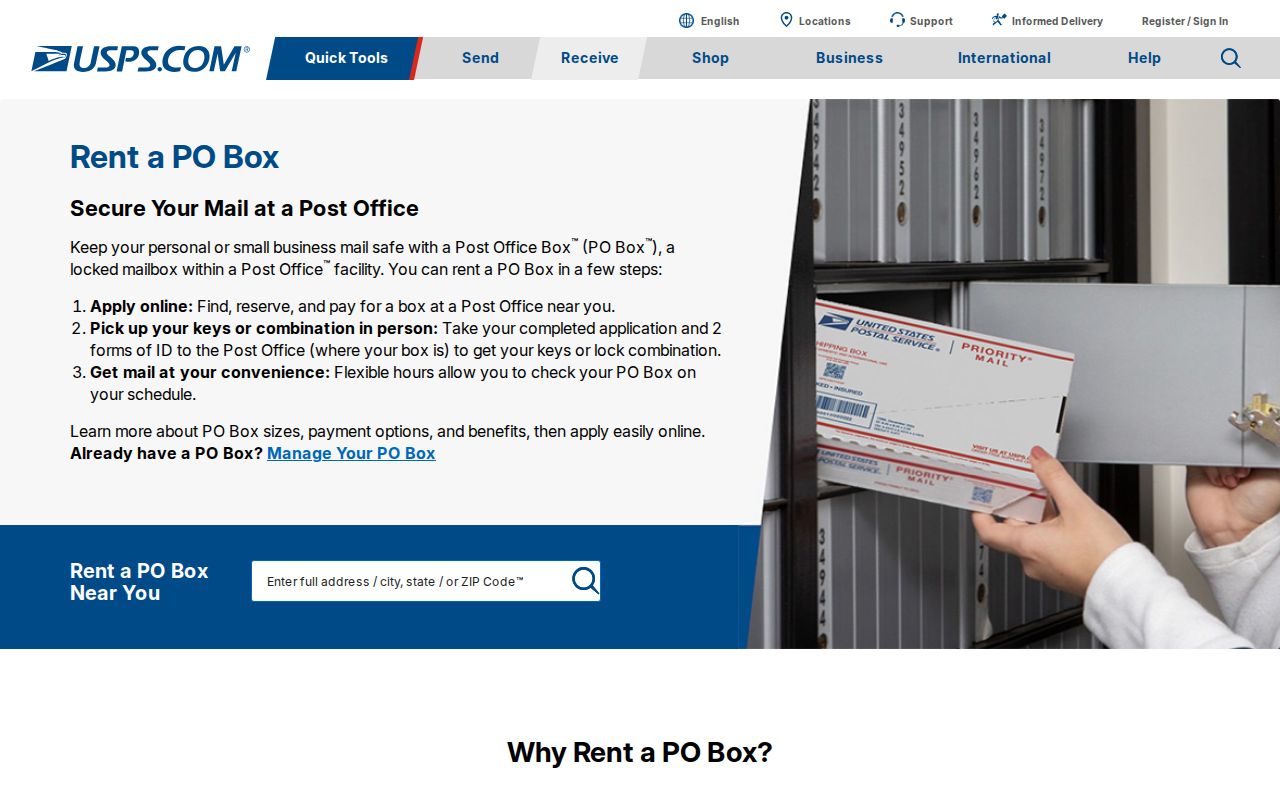
After USPS returns a current address result, compare it with the local tax or parcel situs and preserve the unit and ZIP+4 if supplied. Do not assume that a PO-box ZIP, a unique ZIP, or a carrier route applies to a street address unless USPS identifies it for that address.
The Colony ZIP Code Search Limits
The Denton County tax search is useful once a name, account, or address fragment is known. It has four documented modes: Account Number, Owner Name, Owner Address, and Property Location. The portal does not document a standalone ZIP search. Its Owner Address field is a mailing address, while Property Location is the actual property location, and both address modes instruct users to enter street number and street name while omitting street type and direction.
The official tax-search interface shows the available search modes.
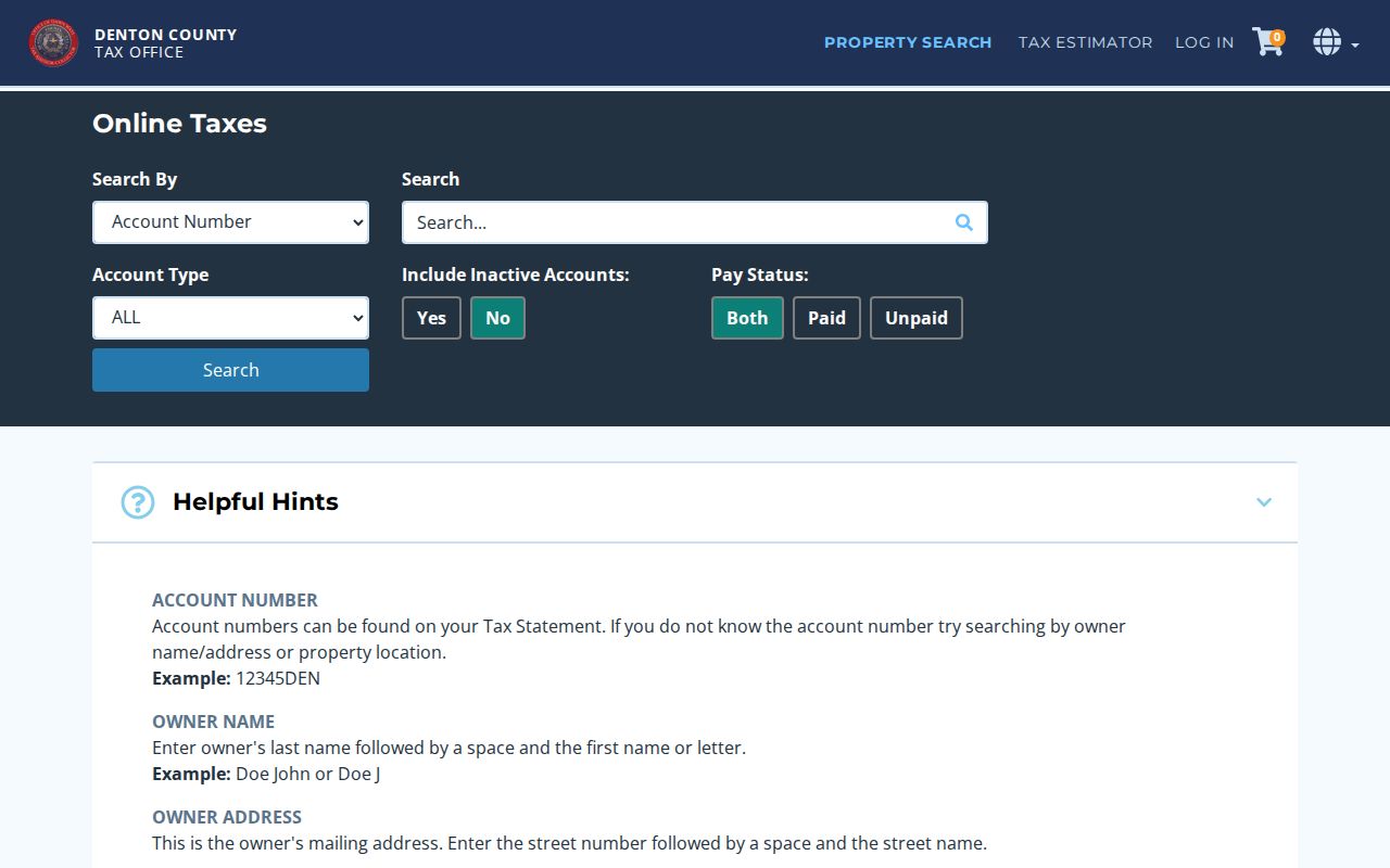
| Account Number | Finds a tax account when the account identifier is already known. |
|---|---|
| Owner Name | Uses the documented last-name then first-name or initial format, such as “Doe John.” |
| Owner Address | Searches the mailing address associated with the account; it is not the situs. |
| Property Location | Searches the actual property address using number and street name without type or direction. |
A tax record can expose a situs or mailing ZIP clue in its address fields, but it cannot prove that a person currently lives there. DCAD parcel material adds property ID, legal description, block, lot, subdivision, city, school district, and situs information for a separate cross-check.
The Colony ZIP Code Clues
A ZIP code can direct a person to the right address verification, parcel, or individual voter lookup, but none of the documented systems creates a public ZIP-wide resident roster. Texas My Voter accepts ZIP as part of an individual name-and-county-and-date-of-birth lookup; it is not a browse-by-ZIP tool. County and state voter lists have separate request procedures and use restrictions. Property systems focus on an account, name, mailing address, or property location rather than a standalone ZIP filter.
- Begin with a complete address and check its current postal result through USPS, retaining the ZIP+4 and unit if returned.
- Search DCAD or Denton tax records by the documented address, owner, or account route, then compare situs, mailing, parcel, and legal-description fields.
- Use city, DCAD, or county GIS to compare municipal city limits, parcel geography, precinct, school, council, flood, or subdivision layers as needed.
- For a registration question about one person, use Texas My Voter with the required identifying inputs. Do not convert the ZIP into a public list.
- Preserve any disagreement between USPS, tax, parcel, and map data, then ask the responsible custodian about the particular record rather than guessing.
A ZIP narrows the geography but does not identify a person. The most useful result is often a corrected address string that can be compared across an official parcel, deed, plat, or city map.
The Colony ZIP County Crossovers
State HOA management-certificate search results can carry a city label, county, ZIP, and association type. The documented The Colony results include Denton and Collin County rows for associations connected with the area. That is a practical reminder that an association label and ZIP need comparison with the city, county, and parcel record. The database itself says it is incomplete and does not list association members, so it cannot establish a person’s address or a complete neighborhood roster.
When a property is near a jurisdictional edge, compare the recorded plat addition, block, lot, and legal description with the county shown on the tax or appraisal record. Then use the appropriate city or county GIS layer for municipal status. The ZIP code directory is the starting point for this comparison, not the final authority.
A ZIP result also cannot substitute for a deed or plat. Denton County’s official-records search can connect a legal description with recorded documents, while DCAD and tax systems carry the current parcel or account trail. For a local history question, the address date matters: a record from before incorporation or before the Eastvale consolidation may use a different place description even when it concerns land now associated with The Colony.
The Colony ZIP Addressing Eras
Local address research must account for the city’s recent history. Land was acquired in 1973, first streets and families followed in 1974, The Colony incorporated in 1977, and Eastvale consolidated in 1987. No official, year-specific street-renumbering or renaming schedule was found. For an older address, do not invent a conversion. Compare the date on the source with plats, deed descriptions, newspaper notices, and city or county mapping tools before treating two address forms as the same place.
County cadastral systems use parcel and R or X-Ref identifiers; county clerk plats use addition, block, lot, and legal description. These identifiers can outlast a postal formatting change better than a casual address transcription. They are also distinct from USPS delivery information, which is why each should remain in the research notes. The available history dates establish the eras, but they do not establish a street-by-street renumbering crosswalk, and an unverified crosswalk should not be inferred from matching ZIP codes.
The Colony ZIP Code Terms
Postal terms describe delivery and sorting, while local records describe jurisdiction and property. Keeping those systems distinct prevents a ZIP code directory from overstating the reach of a nearby place name or a single search result.
- ZIP code and ZIP+4
- The five-digit ZIP directs mail to a postal area. ZIP+4 adds a delivery-specific segment and should be verified through the current USPS result for the full address.
- PO-box ZIP
- A ZIP assigned for post-office boxes or a postal product. It does not automatically describe the ZIP used for a physical street address.
- Unique ZIP
- A ZIP assigned to a single organization or destination. No unique ZIP serving The Colony was documented in the research.
- Carrier route
- A postal sorting or delivery grouping below the broad ZIP level. No route should be inferred from a local city label alone.