
Find The Colony Residents from Records
The Colony has no single official list of everyone who lives there. The useful trail changes with the question. A current parcel question begins with the appraisal record. A past owner question begins with the recorded deed. A question about voter registration belongs with the state voter system, while a dated city event may require a written request to the city. The Colony results should be read as evidence of a specific role, such as owner, grantor, grantee, voter, or permit applicant.
Match the record to the time period, too. The Colony was developed in the 1970s, so a modern street address will not reliably find older rural land references. Names tied to Peters Colony, Bridges Settlement, Eastvale, rural Denton County, Frisco, or Lewisville may need a legal description or a historical source to make a sound connection.
- Search the Denton Central Appraisal District by owner, address, property ID, or X-Ref ID and save the situs address, owner name, and legal description.
- Use Texas My Voter for an individual registration check when authorized. Treat status or precinct information as voter-record information, not proof of every person at an address.
- Search the Denton County Clerk index by party name, grantor, grantee, document number, or legal description to locate a deed or plat.
- For an older The Colony household, compare the result with library local-history material and searchable newspapers.
- When an existing city record is not online, send a focused written Texas Public Information Act request to the custodian that holds it.
The Colony Residents Directory Office Routes
Three offices provide the core current-record paths for The Colony. The County Clerk keeps recorded real-property material and several county record categories. DCAD identifies the parcel and its appraisal fields. Denton County Elections Administration is the county contact behind voting services. The The Colony street directory uses those same sources in address order when the task is to follow one road or block.
Denton Central Appraisal District
3911 Morse Street
Denton, TX 76208
940-349-3800
Denton County Elections Administration
701 Kimberly Dr., Suite A100
Denton, TX 76208
940-349-3200
Start at the clerk counter or one of its listed satellite offices if a portal result lacks an image or the needed date range. The clerk's recording and vital-statistics counter lists Monday through Friday hours of 8:00 to 4:30. A request should include the names, document number or book and page, legal description, and recorded date already found in the index.
See the Denton County Clerk office before requesting an official copy.
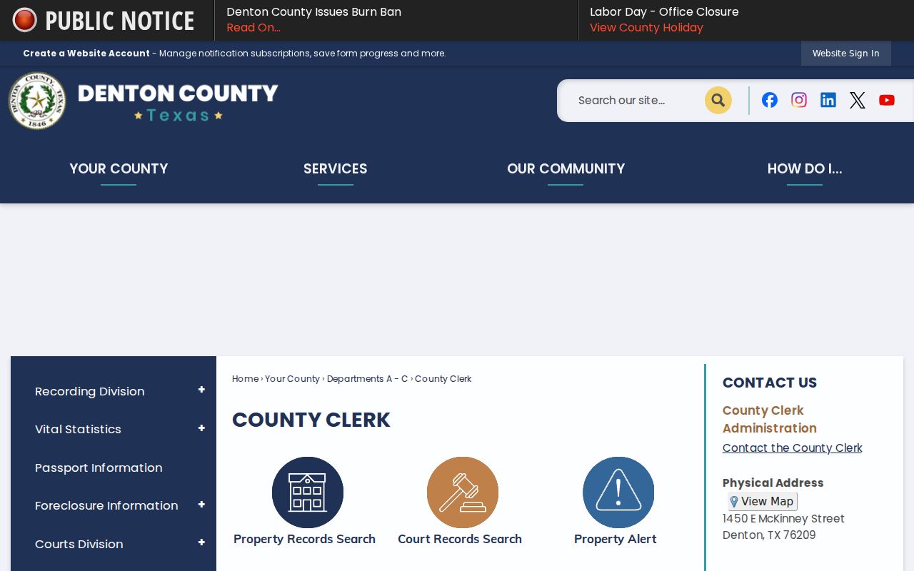
The clerk is the county route from a parcel result in The Colony to a recorded instrument, not a general confirmation that a named person lives in The Colony.
The Colony Parcel and Owner Search
DCAD separates information that can look similar at first glance. A parcel card can show an owner name and mailing address, then list a different situs address, which is the property location. It can also show a legal description, abstract or subdivision information, block and lot, value fields, exemptions, year built, and improvement information. The Colony property record is strong evidence about the parcel and its recorded owner. It does not establish who is currently present at that location.
The advanced DCAD form has more options than a name box. Use the full situs address for a direct parcel search. When an address is incomplete, land-description fields can narrow the result. Denton County's separate tax search also distinguishes Owner Address from Property Location, a useful cross-check when a tax notice is mailed elsewhere.
| DCAD field | Type | Required | Use for a search in The Colony |
|---|---|---|---|
| Property ID or Address | Text | No | Enter a property account or street address. |
| Owner ID or Name | Text | No | Search the recorded owner name. |
| Agent ID | Text | No | Search an agent identifier when it is already known. |
| Business Name | Text | No | Find a parcel held in an entity name. |
| Abstract/Subdivision Code | Text or dropdown | No | Bridge a modern address to a land or subdivision description. |
| Neighborhood Code | Text | No | Narrow with the appraisal neighborhood code. |
| Block | Text | No | Use the legal block shown in a plat or deed. |
| Lot | Text | No | Use the legal lot shown in a plat or deed. |
| Class | Dropdown | No | Apply the available property-class filter. |
| City | Dropdown | No | Apply a city or county geography filter. |
| School District | Dropdown | No | Apply the available district filter. |
| State Code | Dropdown | No | Apply an available state-land-use code. |
| Year | Dropdown or text | No | Set the portal's available year control. |
| Ordering | Dropdown | No | Control result ordering. |
| Direction | Dropdown | No | Set ascending or descending output. |
DCAD says its parcel geometry is updated and exported weekly, but map geometry is informational rather than a survey. Keep the exact result date with any The Colony search because ownership updates can also lag during the appraisal process.
The Colony Deed Index Trail
The Denton County Official Records search connects a property in The Colony to recorded filings. Its Quick Search supports a term and recorded-date range. Advanced Search adds department, party name, grantor, grantee, recorded and instrument dates, document type and number, book or volume and page, lot, block, legal description, remarks, and document-image text. The portal shows that its records are certified through August 31, 2026, but it does not state the start year for its modern online material.
Search the current owner as grantee to find a purchase deed, then search a prior seller as grantee for the earlier purchase. Match the legal description each time. The address alone can change or be absent from a historical document. Older direct and reverse deed indexes from 1875 to 1903 and deed books from 1854 to 1855 and 1875 to 1902 are documented on microfilm, so the counter and UNT or TSLAC routes matter when a chain in The Colony stops online.
Use the Denton County official-records search to begin with a precise name or legal-description term.
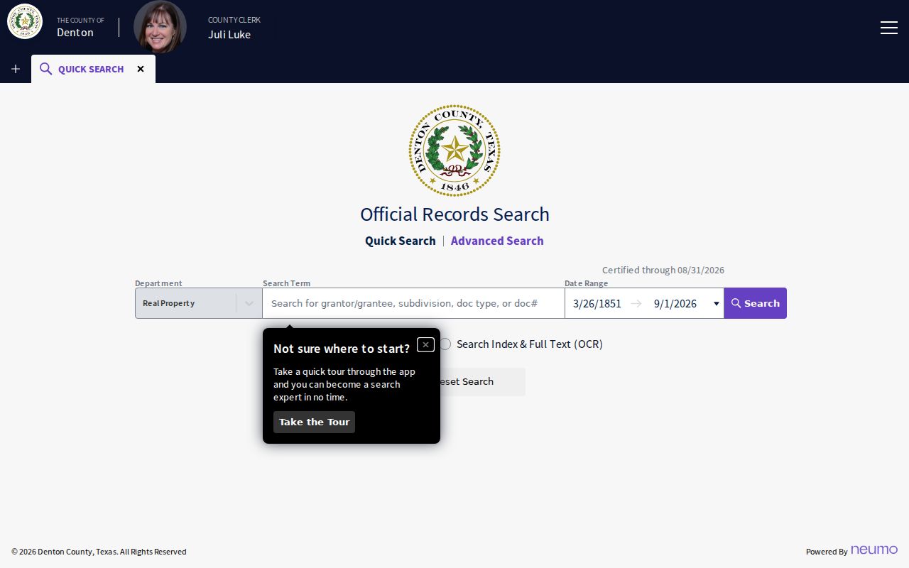
A filed name records a party role in the instrument. It should be checked against the parcel's situs and document date before it is used as a local resident lead.
Note: Early handwritten deed indexes can distort spelling, so try recorded name variants before assuming a no-result.
The Colony Voter Record Limits
Texas My Voter accepts a name with county, date of birth, and ZIP code, or a VUID. A result for The Colony may supply registration status, precinct, district, polling information, and public participation information. It never reveals how a person voted. A same-name result needs a second point of comparison, such as a verified address or VUID, before it is treated as the right person.
The voter system is not a free browse-by-street roster. A person may have a protected residence address or web suppression, and protected entries can appear with asterisks rather than an address. Denton County Elections Administration can explain the controlled voter-list request path and the use restrictions attached to it. A missing The Colony result is not proof that the person has no local connection.
Current The Colony Residents Directory Sources
Current The Colony directory sources answer different questions. Property and tax records are owner-oriented. The recorder is document-oriented. The voter tool is an individual registration check. City staff and board pages name public offices or appointed people, not all residents. Association filings identify an association or manager, not a membership list.
| Current source | What a result for The Colony can show | Keeper | Access route |
|---|---|---|---|
| DCAD parcel card | Owner, mailing address, situs, legal description, values and improvements | DCAD | Public portal and GIS |
| County tax search | Account, owner mailing address, or property location | Denton County | Online search modes |
| Official Records index | Recorded parties, dates, document data, legal-description fields | County Clerk | Online index, counter, copy request |
| My Voter | Individual voter status and precinct details, subject to suppression | Texas SOS | Individual online lookup |
| HOA certificate search | Association, county, city, type, and management certificate | Texas state database | Public search, not membership data |
The Texas HOA management-certificate search can return both Denton and Collin County associations that use The Colony in a name or city field. Confirm the county, map location, and recorded plat before connecting an association result to a particular The Colony parcel.
The Colony Official Record Comparison
Official records identify their custodian, field scope, and access limits. Compiled people directories can be useful only as an unverified starting point, because they may mix names, old addresses, relatives, and records from different places or dates. For a question about The Colony involving a parcel, court file, or voter status, the official source remains the record to verify.
| Source category | Best use | Key limitation |
|---|---|---|
| Official parcel, deed, voter, or court record | Check a defined record role and date with the holding agency | Each record set has gaps, redactions, and jurisdiction limits |
| Compiled directory information | Generate a name or address lead for further checking | May be stale, merged, incomplete, or lack a source date |
| Certified or clerk-issued copy | Obtain the document identified by a reliable index hit | Fees, access rules, and redactions may apply |
A recorded owner may use another mailing address, and a voter result may be confidential. Those are ordinary reasons to label a finding in The Colony as direct record, corroborated inference, lead only, or unresolved.
The Colony Court Record Routes
Court records require the right custodian. Denton County's Judicial and Law Enforcement Records Search is a routing page, not a single name index. The county PublicAccess system can provide district-court case and calendar information, including possible party names, cause number, court, filing date, case type, status, settings, attorneys, and docket events. The actual court file controls, and sealed or statutory records will not appear in the same way as public docket entries.
The Colony Municipal Court handles Class C misdemeanor matters and local municipal violations. No public name index was found on its city page, so contact the court clerk for current access and copy instructions. A court filing shows a party role in a particular case. It does not establish identity from a common name or present residence in The Colony.
Open the Denton County judicial-record routing page to choose the appropriate county search.
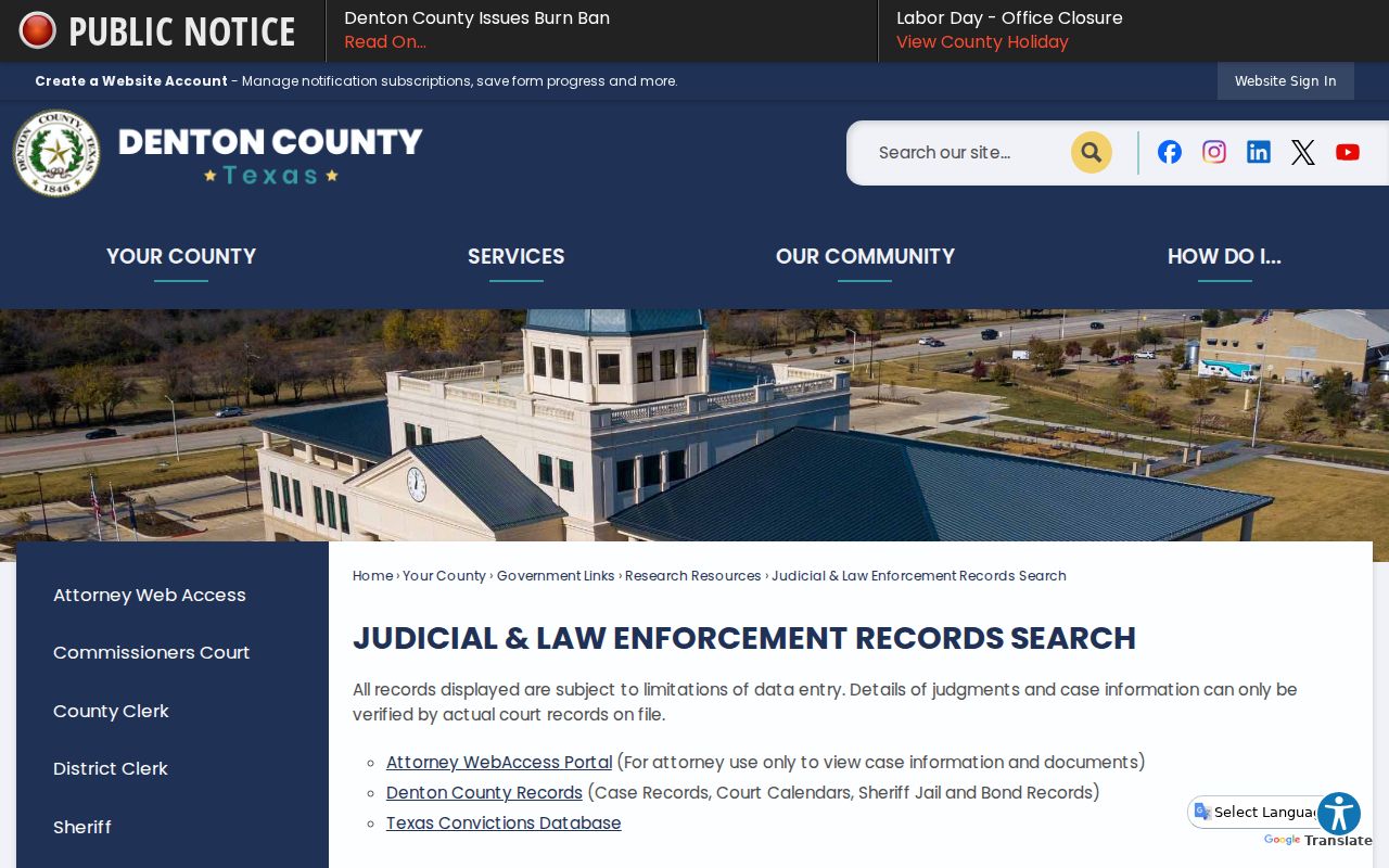
The county landing page separates court, custody, and law-enforcement routes, which helps prevent a case search involving The Colony from being sent to the wrong custodian.
Check the The Colony Municipal Court contact route when a matter belongs to municipal jurisdiction.
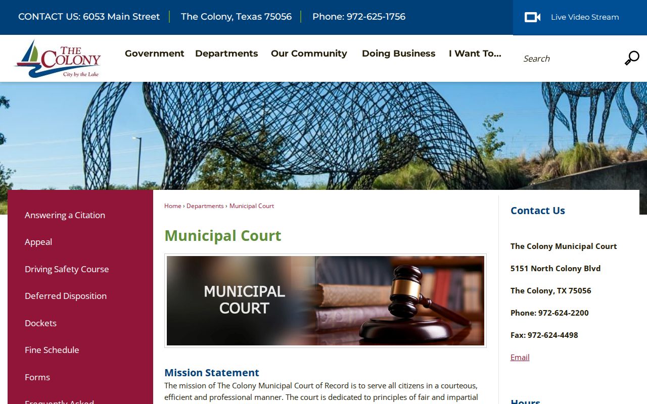
When no online name field is supplied, a narrow clerk inquiry using a known case number or event date is more reliable than an open-ended name search.
The Colony Vital Record Indexes
Texas DSHS offers index and certificate routes that can support family-history research connected to The Colony. Birth-event indexes begin in 1925 and death-event indexes in 1965. Marriage verification indexes begin in 1966, and divorce verification indexes begin in 1968. An index entry is a lead, not a certified record. Denton County Clerk is the source for a certified marriage license issued there, while the District Clerk holds a certified divorce decree.
Access depends on the type and age of the record. Under Texas Government Code section 552.115, a birth record is public after 75 years and a death record after 25 years. More recent certificates require a qualified requester under state rules. The DSHS statewide route and the county or district-clerk route serve different documents, so keep the event county and document type clear in a family search in The Colony.
The Colony Public Record Requests
Texas Public Information Act requests should ask for existing, identifiable records held by the proper government body. Name the record type, a relevant address or number, and a date range. Texas Government Code chapter 552 calls for prompt production or a communication about timing. When a body cannot produce records within ten business days, state guidance calls for a reasonable release date and delay information. The Act does not require a city or county to make a new report or answer a research question.
The Colony accepts public-records requests through its City Secretary routes, including PDF mail or in-person delivery, fax or email, and its portal. The city page also points to Document Archives for minutes, ordinances, resolutions, and historical records. Ask for inspection, an electronic copy, or a cost estimate before broader production. Police-specific records should follow the city route for Police Records when directed.
Use The Colony Public Records page to select the city request channel.
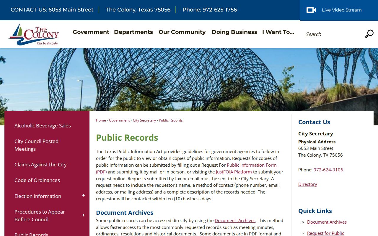
The city request page is most useful after a search in The Colony has identified a department, record type, date range, or report number.
Read the Texas Public Information Act overview before sending a request.
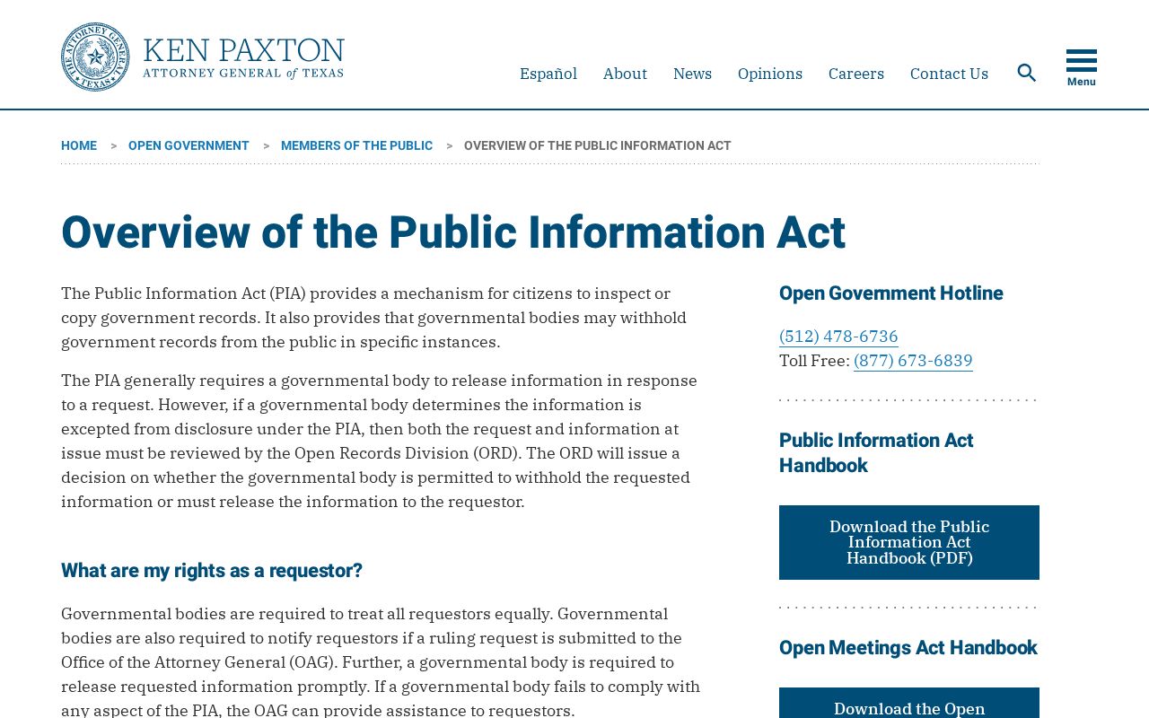
The state overview explains why protected personal data, active-investigation material, and other statutory exceptions can narrow a response.
Lawful use. Use The Colony records for personal, civic, family-history, or property research. Do not use a name, address, map, or record result to stalk, harass, pressure, or harm anyone.
The Colony Boundary Record Differences
A mailing city for The Colony, postal ZIP, appraisal parcel, and municipal boundary can point to different things. City GIS supplies council, school-zone, street, and zoning maps, while DCAD GIS supplies parcel-oriented mapping. Denton County GIS adds political boundaries, roads, voter precincts, floodplain, and other geography. These tools should be used as location aids rather than survey evidence. A parcel may use The Colony in its mailing context yet sit outside municipal limits, or fall within the city while a postal result uses a different city or ZIP convention.
Time adds another difference. Fox & Jacobs acquired about 2,500 acres in 1973, streets and first families arrived in 1974, and incorporation followed in 1977. Eastvale, an older community that began in the 1960s, consolidated with The Colony in 1987. Use original place names in a record, then make a separate modern-place note instead of rewriting an older record as a present-day The Colony address.
Note: The The Colony GIS page says its map data may change and is not a site-specific survey.
The Colony Newspaper Record Shelf
The Colony Public Library's Local History Committee, formed in 2006, holds more than 130 documents, maps, photographs, genealogy reports, and artifacts. Its Research & Learning resources also point to local history, newspaper archives, America’s News, Dallas Morning News, Ancestry Library Edition in the library, Fold3 Library Edition, and the UNT collection. These are source collections, not a present-day resident list, but they can corroborate an address, family event, civic activity, or older business reference.
The UNT The Colony Area Newspaper Collection supplies a particularly useful comparison point: six titles, 2,570 items, and material from the 1960s through the 2020s with searchable full text and metadata. A newspaper name hit needs the issue date, page context, and a second record before it is carried into a directory search in The Colony. OCR can misread names and street text.
Search the UNT The Colony Area Newspaper Collection with a name variation, old community term, or subdivision.
Historical The Colony Residents Directory Trails
Older The Colony households are best approached as a chain of dated sources. A historic directory or newspaper can place a name near an address or community term. A county deed, tax roll, probate file, or cemetery source can then clarify ownership, family relationship, or land description. The direct and reverse county deed indexes on microfilm are especially useful when a modern street name has no historical match.
A criss-cross directory is a reverse directory organized by address rather than by surname. It can help connect a past household to a location, but each printed year only reflects its own publication date. The The Colony city directory collections provide the fuller shelf and access details. Compare spelling, year, place name, and legal description before deciding that an older entry represents the same The Colony household.
The Colony Residents Directory Terms
Clear labels keep a result for The Colony from saying more than its source supports. These terms appear across DCAD, the clerk index, maps, and historical material.
- Parcel
- A mapped unit of land used in appraisal and tax records. A parcel is not a roster of people.
- Situs address
- The property location shown on a record, distinct from an owner's mailing address.
- Grantor and grantee
- The party transferring an interest and the party receiving it in a recorded instrument.
- Index
- A searchable record listing that helps identify a document. It may not include every image or historical year.
- Plat
- A recorded map that can identify a subdivision, lot, block, roads, or easements.
- Criss-cross directory
- An address-ordered directory used to research a historical location.
Use the source's own label in a research note for The Colony. That preserves the difference between a mapped parcel, a recorded transfer, and a dated directory listing.