
Trace The Colony Street Address
A street-by-street search works best as a record trail. Preserve the source address exactly first, including direction, unit, postal city, ZIP, and the date it was seen. Then compare it with each office's own address format. A street-directory search in The Colony can establish a recorded owner, parcel, legal description, transfer history, or limited voter status. It cannot turn any one of those results into proof of a full current household.
- Run the exact The Colony address through DCAD. Record the situs address, current recorded owner, R or X-Ref identifier, and legal description.
- Open DCAD GIS, turn on Parcels under Layers, search or click the parcel, and compare the parcel geometry with the address.
- Use the legal description and owner name in the County Clerk's real-property index. Search the owner as grantee for the acquisition and as grantor for a later transfer.
- Use Texas My Voter only for an individual lookup or the formal voter-list request route. There is no documented free browse-street voter roster.
- For an older household question, compare a dated reverse directory or newspaper item with the deed chain, not with the modern address alone.
The chain is address → parcel → recorded owner and legal description → deed or plat → a dated supporting source. It is more reliable than searching a street name by itself.
The Colony Street Directory Parcel Fields
The Denton Central Appraisal District public portal is the main address entry point for a street-directory search in The Colony. Its parcel card can separate the situs from the owner mailing address and can include legal description, abstract or subdivision data, block, lot or tract, values, exemptions, improvements, year built, and city or school-district fields. The mailing field helps send a tax notice. It does not show who currently occupies an address in The Colony.
Use a full situs address first. If the search needs refining, the portal's advanced fields support both address-based and land-description research. Keep the original street string in notes even when a portal accepts a shortened version.
| DCAD search field | Type | Required | Street-directory use |
|---|---|---|---|
| Property ID or Address | Text | No | Search a parcel account or a street address in The Colony. |
| Owner ID or Name | Text | No | Locate the current recorded owner after the address search. |
| Agent ID | Text | No | Use an agent identifier when it is already known. |
| Business Name | Text | No | Search a parcel held in an entity name. |
| Abstract/Subdivision Code | Text or dropdown | No | Connect a street result to its land or subdivision description. |
| Neighborhood Code | Text | No | Narrow with the appraisal neighborhood code. |
| Block | Text | No | Use the legal block from the plat or deed. |
| Lot | Text | No | Use the legal lot from the plat or deed. |
| Class | Dropdown | No | Apply the available property-class filter. |
| City | Dropdown | No | Apply a city or county geography filter. |
| School District | Dropdown | No | Apply the available district filter. |
| State Code | Dropdown | No | Apply an available state-land-use code. |
| Year | Dropdown or text | No | Set the portal's available year control. |
| Ordering | Dropdown | No | Control result ordering. |
| Direction | Dropdown | No | Set ascending or descending output. |
The Colony Street GIS and R Numbers
DCAD GIS gives the map side of the street-directory trail in The Colony. Turn on Parcels under Layers, then search or select the target parcel. The number shown over a parcel is the R number. Selecting the parcel leads back to more property information. The same viewer exposes layers such as abstracts, city limits, school districts, sales, address, owner, and streets, which can help distinguish a near match from the intended parcel.
City and county GIS add different context. The Colony GIS publishes city-limit, council-district, school-zone, street, and zoning maps. Denton County GIS includes cadastral parcels, political boundaries, roads, voter precincts, floodplain, and other geography. Those map results are useful for orientation. The city warns that its data may be incomplete or changing and is not a site-specific survey.
Open the DCAD GIS parcel viewer before treating a nearby address as part of the same The Colony street segment.
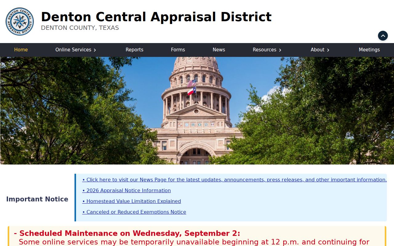
The GIS viewer helps link an address to the right R number, but the recorded legal description remains the stronger bridge to a deed or plat.
The Colony Street Deed Trail
In the Denton County Clerk Advanced Search, choose the Real Property department and use grantor, grantee, party, recorded date, instrument date, document type or number, book or volume and page, lot, block, legal description, remarks, or OCR text. A grantee is the party receiving an interest. A grantor is the party transferring one. Search current ownership in both directions when reconstructing a street record in The Colony.
The address is only one retrieval path. A deed may rely on the addition or subdivision, block, lot, abstract, tract, or other legal-description text. Compare recorded date with instrument date, then inspect the prior seller as a possible earlier grantee. The official search page is certified through August 31, 2026 but does not state the beginning year of the modern online index. A missing online result is not evidence that no older instrument exists.
Use the Denton County Clerk Advanced Search for a legal-description or party-based The Colony street search.
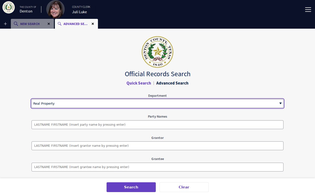
The advanced deed index makes it possible to test an address against grantor, grantee, and land-description fields instead of assuming the current street string will appear in every filing.
The Colony Street Record Coverage
Address-keyed sources overlap but do not say the same thing. Use the parcel ID and legal description to join DCAD, tax, deed, and plat results. Use a street string to orient a map or a municipal permit. The matrix below keeps the scope of each The Colony street directory source clear.
| Record set | Keeper | What it can show | Access |
|---|---|---|---|
| DCAD parcel card | Denton Central Appraisal District | Recorded owner, mailing field, situs, legal description, values, improvements | Public portal and GIS |
| County tax search | Denton County Tax Assessor/Collector | Account number, owner name or mailing address, property location | Online search modes |
| Deed, lien, or plat index | Denton County Clerk | Parties, filing dates, instrument data, legal description, lot and block | Online index; counter or copy request |
| GIS parcel map | DCAD, county, or city GIS | Parcel geometry, boundaries, streets, districts, map context | Public interactive maps, approximate |
| Building-permit record | The Colony Building Inspections | Worksite, owner, applicant, contractor, scope, inspections | eTRAKiT or city record request |
A property owner, permit applicant, contractor, and mailing recipient are separate record roles. A reliable The Colony street finding names the role shown, its source, and its date.
The Colony Street Permit Records
The Colony Building Inspections and Permits materials connect a worksite to permit information. The residential application includes property, subdivision, work-scope, owner, applicant, contractor, and signature fields. A permit application fee of $50 and a typical 10 to 15 business-day plan-review period are listed by the city. eTRAKiT supplies inspection-result access for the current system.
Permit names require care. An applicant or contractor can be connected to the work, not to present occupancy. For older responsive city material, a focused Public Information Act request to the city is the documented fallback. Give the exact The Colony address, record type, and date range, and ask for existing records rather than a newly compiled history.
Note: A permit can support a date-specific property history, but it does not establish a permanent connection between a person and a street address in The Colony.
The Colony Street Voter Limits
Texas My Voter is designed for an individual search by name, county, date of birth, and ZIP code, or by VUID. It can show registration status, precinct, and public participation information, but not ballot choices. The Colony street directory work cannot use it as a free browse list of voters on a named road. A formal voter-list request has its own state and county rules, timing, and use restrictions.
Texas confidentiality rules can suppress a protected residence address, and a web-suppressed record can differ from a request response. Registration status also changes. Treat a public voter result as a limited, dated record and never use a missing result to rule out a connection to The Colony.
The Colony Street Name History
Modern The Colony street names are relatively young. Fox & Jacobs acquired about 2,500 acres in 1973, streets were poured and named in 1974, first families arrived that October, and the city incorporated in 1977. Eastvale, an older community that began in the 1960s, joined The Colony in 1987. These dates explain why a search of today's street address can fail in older county records.
Older material may use Peters Colony, Bridges Settlement, Eastvale, rural Denton County, Frisco, or a rural-route or acreage description. No official year-specific renumbering schedule was located. Do not claim a renumbering or street-name conversion without an ordinance or map that proves it. Use the addition, block, lot, abstract, or plat to bridge an old The Colony-area description to a current parcel.
The Colony Street Tax Cross-Check
Denton County's tax search is a useful comparison after DCAD. It offers Account Number, Owner Name, Owner Address, and Property Location modes. The portal's instructions distinguish owner mailing address from the actual property location. For an Owner Name, it suggests surname followed by first name or initial. For Owner Address or Property Location, it directs searchers to enter street number and street name without street type or direction.
That difference can solve a failed The Colony street directory search, but it is also a reminder not to merge mailing and situs information. Compare the tax result's actual property location with DCAD, then carry the R number and legal description to the clerk index if a deed search is needed.
The Colony Street Boundary Checks
A street address has several geographic labels that should not be treated as interchangeable. A DCAD parcel is an appraisal and cadastral unit. The Colony city-limit map shows municipal geography. A postal city and ZIP support delivery, while school, council, floodplain, and voter-precinct layers describe other boundaries. One The Colony street result can be correct in one system and appear different in another because each system serves a different purpose.
Compare the exact postal city, ZIP, unit, direction, and street type before deciding two results describe one place. The city uses The Colony, TX 75056 on official addresses, while broader map material can also show 75010. That does not establish that every parcel has the same postal result. Use the current USPS address tool for deliverability, then use city GIS and DCAD for their separate The Colony boundary and parcel questions.
When a map and a deed seem to disagree, favor the legal description for the recorded land question and mark any modern-map crosswalk as an inference until an official source confirms it.
The Colony Street Directory Terms
These short definitions make the address trail easier to read without overstating what a record from The Colony proves.
- Parcel
- A mapped land unit used by appraisal and tax systems. It may contain an owner record, not a household list.
- Situs address
- The property location. It differs from an owner or tax-notice mailing address.
- Plat
- A recorded map that can show an addition, subdivision, block, lot, streets, and easements.
- Criss-cross directory
- An older address-ordered directory. It is a dated historical source, not a current occupancy record.
Label each The Colony result with the term the source uses. That keeps a parcel, a situs address, a plat, and a historical directory entry from being treated as the same kind of evidence.
The Colony Street Directory Limits
A street-directory search in The Colony cannot supply a complete current list of people at an address. Parcel ownership, an owner mailing field, a deed party, a permit applicant, a map point, or a voter result each has a narrower meaning. Utility-customer and driver-license information are not a substitute source, and protected voter addresses may be withheld. Leave uncertainty visible rather than filling it with a guess.
For historical address work, a criss-cross directory or newspaper item may support a past household only for the date of that publication. The fuller historical shelf is available through the The Colony city directory collections, while current street work should return to DCAD and the clerk index.
Lawful use. Use The Colony street and parcel records for personal, family-history, civic, or property research. Do not use an address, parcel map, or record result to stalk, harass, pressure, or harm any person.