
The Colony Previous Residents Sources
Previous residents of an address in The Colony are not supplied by one complete roll. The strongest starting point is the present parcel: its legal description connects a modern street number to recorded land. From there, a deed trail can establish prior ownership, and dated household material can test whether a named person actually occupied the address. The age of The Colony also matters. Modern street names are useful for recent decades, while earlier land may be indexed as rural Denton County, Peters Colony, Bridges Settlement, Eastvale, an addition, or acreage.
| Record source | Period represented | Access point | Evidence supplied |
|---|---|---|---|
| Deed books | 1854–1855; 1875–1902 on film | County Clerk, UNT, or TSLAC | Conveyance parties and legal land description |
| Direct and reverse deed indexes | Direct: 1854–1855, 1876–1903; reverse: 1876–1885, 1895–1903 | UNT microfilm reels | Names leading to a deed-book entry |
| Denton city directories | 1920–1991, sporadic | DCHC Research Room | Address, household, and occupation clues |
| The Colony Courier | 1976–1999, 16 digitized years | UNT and The Colony Public Library | Notices, events, and dated local context |
| Tax rolls and poll-tax lists | 1846–1910; 1938–1947 | UNT microfilm | Taxpayer or historic precinct context, not occupancy proof |
Use a transfer record to move from owner to owner. Use a directory, newspaper, census, tax roll, probate file, cemetery record, or poll-tax list as an occupancy or life-event clue, then label its role. A prior deed holder is a prior owner, not automatically one of the past residents.
The Colony Deed Records Chain
Start in the Denton Central Appraisal District with the current owner and the legal description, not the street address alone. Then open the Denton County Clerk Advanced Search, choose Real Property, and find that owner as a grantee. The purchase deed identifies the seller, who becomes the next person to search as a grantee in earlier records. Compare the lot, block, addition, tract, or other legal description at each step. A match on the street name without that continuity can join the wrong parcel.
- Save the current DCAD owner, R or X-Ref identifier, situs address, and full legal description.
- Search the current owner as grantee in Real Property and inspect the recorded purchase instrument.
- Record the grantor, recording date, instrument or document number, and book, volume, or page when shown.
- Search that grantor as an earlier grantee, then repeat the same legal-description check for each transfer.
- When online results stop or an image is unclear, take the names and citation to the Clerk counter, a copy request, or the UNT/TSLAC microfilm trail.
Recording and Vital Statistics counters are at 1450 E McKinney Street in Denton, open Monday through Friday from 8:00 a.m. to 4:30 p.m. The visible portal is certified through August 31, 2026, but it does not state a modern online start year. That omission is a reason to use the counter or historical reels rather than treating a search gap as proof of no transfer.
- Grantor / grantee
- The grantor transfers an interest; the grantee receives it in the recorded instrument.
- Chain of title
- The documented sequence of transfers for the same land, read from a present record backward.
- Legal description
- The lot, block, addition, tract, abstract, or acreage wording that identifies land more reliably than a later mailing address.
The Colony Deed Record Index
The Clerk portal lets a researcher tracing The Colony narrow a real-property search with Party Names, Grantor, Grantee, recorded or instrument dates, document type and number, book, volume, page, lot, block, legal description, remarks, and document-image text. Recorded date and instrument date can differ, so preserve both when the page provides them. The county also warns that early handwritten names may be distorted, making initials, surname-first forms, alternate spellings, and subdivision terms worthwhile checks.
Use affidavits of heirship, probate records, liens and releases, easements, plats, sheriff or trustee deeds, and mechanics liens only as supporting links in the title history. They can explain a transition, relationship, subdivision change, or encumbrance. They do not fill an unverified ownership gap by themselves.
Note: Keep a dated ledger of source, role, legal description, document citation, and unresolved issue before drawing a conclusion about past residents.
The Colony Past Residents Roles
Role labels prevent a title record from becoming a household claim. Mark a DCAD result as recorded owner or mailing recipient. Mark a deed participant as grantor or grantee. Mark a directory hit as a directory entry, a census hit as a household record, a tax item as taxpayer context, and a newspaper item as a dated notice. A single person can appear in several roles over time, and the roles may point to different addresses.
DCAD itself separates the situs, meaning the property location, from an owner mailing address. A mailing address may be a post office box, a business address, another city, or a former address. Homestead information is only an owner-occupancy clue. This owner-versus-occupant split is the most useful check when researching who lived here before.
The Colony Previous Residents Eras
The current street grid has a short local history. Fox & Jacobs acquired land in 1973, streets and first families followed in 1974, incorporation came in 1977, and Eastvale consolidated with The Colony in 1987. Those dates help set expectations for the address trail. A modern The Colony street reference becomes more plausible after development, while an earlier record may describe rural acreage or a different community name.
Search Peters Colony, Bridges Settlement, Eastvale, rural Denton County, Lewisville, Frisco, and the legal acreage or subdivision words alongside a modern address. Preserve the historic place name as written. A map or plat can support a modern cross-reference, but it should be described as an inference unless a source expressly makes the connection.
The Colony Microfilm Records
The Texas State Library Denton County microfilm guide identifies older deed books from 1854–1855 and 1875–1902. Its direct indexes include reel 1302133 for 1854–1855 and 1876–1895, then reel 1303134 for 1895–1903. Reverse indexes use reel 1303134 for 1876–1885 and reel 1302135 for 1895–1903. UNT is the regional depository for Denton County material.
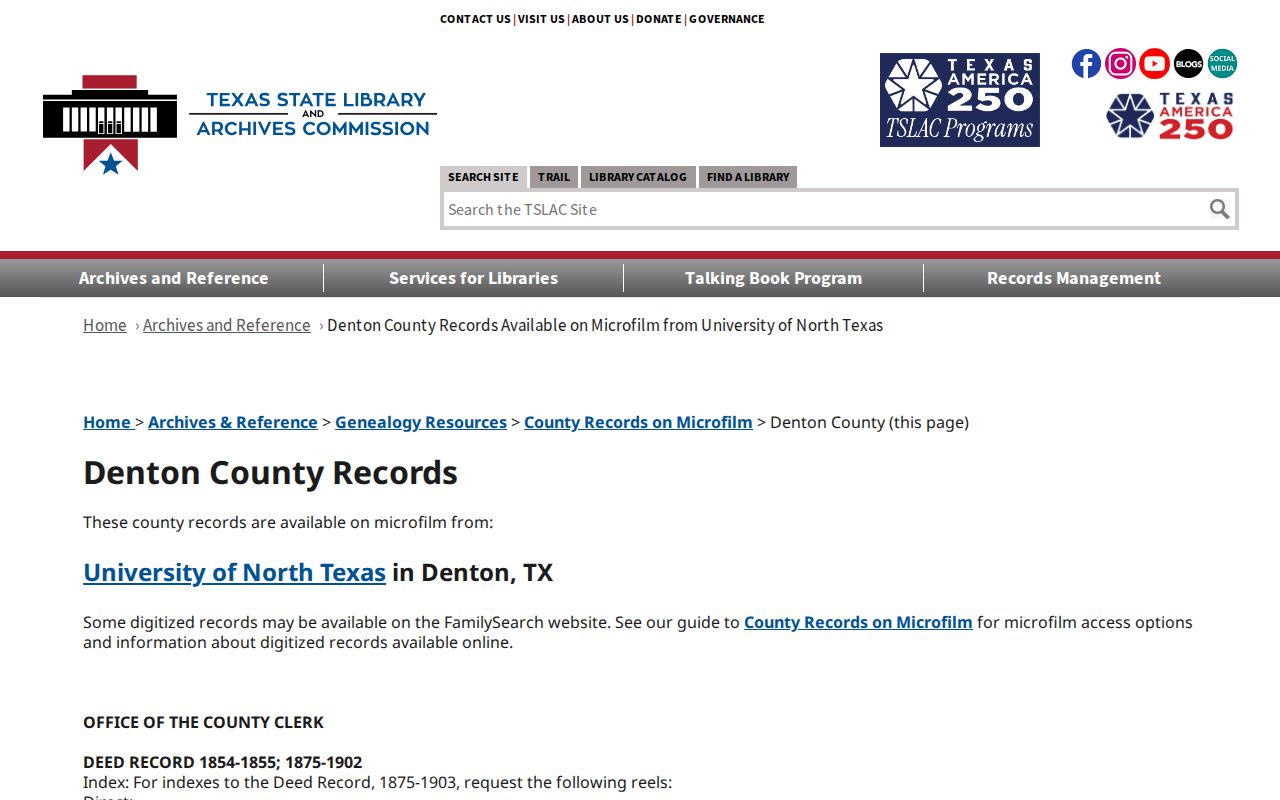
The guide is a path to filmed material, not proof that every volume survives on film. Volume 61 was missing when filmed, and volumes 75 and 78 were not filmed because their entries extended past the filming cutoff. Report a jump in the deed trail as unresolved until another record supports it.
The Colony Records Copy Routes
When a deed entry for The Colony lacks an accessible image, preserve the document number, parties, dates, book or volume, page, and legal description before requesting a copy. The County Clerk fee schedule lists certified paper or electronic copies at a $5 clerk certificate plus $1 per page through ten pages, then $0.10 per page above ten. It lists noncertified electronic copies at $1 through ten pages and $0.10 per page above ten. The clerk's property-records copy request provides a mail or counter fallback for real-property documents.
Those routes matter when a historic The Colony chain reaches a partial index, a film gap, or an image that needs closer inspection. Ask for an existing document, not an answer about ownership, and use the legal description to reduce the risk of receiving material for a different parcel. A certified copy confirms what the custodian certified; it does not by itself establish that a party was one of the previous residents.
The Colony Household Record Trail
Once the land trail reaches a period of interest, test the household separately. The Denton County Office of History and Culture Research Room holds Denton directories beginning in 1920 and continuing sporadically through 1991, but no complete The Colony run was located. The 1923 digitized Denton directory can show a name, spouse or household relation, child-count shorthand, occupation, and a res. address. It is historical Denton evidence, not a substitute for a directory of The Colony. The collections themselves are described in the The Colony city directory.
- Copy the address, date, and role from the title trail into a research log.
- Check an address or name directory entry and preserve the year, spelling, household clue, and residence notation.
- Pair a directory year with the matching public federal census period, treating both as corroboration rather than automatic identity proof.
- Search the UNT Colony newspaper collection for notices, obituaries, school items, or subdivision references, then inspect the page image.
- Use probate, tax, cemetery, or poll-tax material to add context and keep each result labeled by what it actually shows.
The Colony Courier offers 16 digitized years from 1976 to 1999. For older rural-era records, county tax rolls, probate material, and cemetery sources often bridge the gap better than a street search. The 1885 Sanborn map is for Denton, not later-developed The Colony, so it cannot describe a structure in The Colony.
Note: A directory, census, newspaper, or probate item may support an occupancy clue, but none should be converted into a current contact record.
The Colony Previous Residents Limits
No source located a continuous The Colony resident list across all decades. Pre-1974 records describe a rural and settlement landscape, not the later city population. The 1890 federal schedules are largely lost, and the microfilm limitations can leave a deed-chain gap. When evidence stops, state what source was checked, what relationship it establishes, and what remains unproved.
Lawful use. The Colony house-history research belongs to family history, estate questions, and personal curiosity. Texas law prohibits using record fragments to stalk, harass, threaten, or monitor a living person.